


09 Oct 2025
The historic village of Sandridge is being encircled by a pincer movement of housing developments which threaten to ruin its character forever.
Originally known as “Saundruage” – a place of sandy soil serviced by bond tenants – the village can trace its history back 1,250 years to Saxon times, with the church of St Leonard’s dating back to at least the Norman period, possibly earlier.
With a population of around 12,000, it is a predominantly rural part of the district, and includes Heartwood Forest, a 858-acre woodland created in 2008 from what was mainly farmland.
But now it is under threat like never before in its centuries-old history, with proposals for more than 100 new homes on Green Belt land to the east and west of the village.
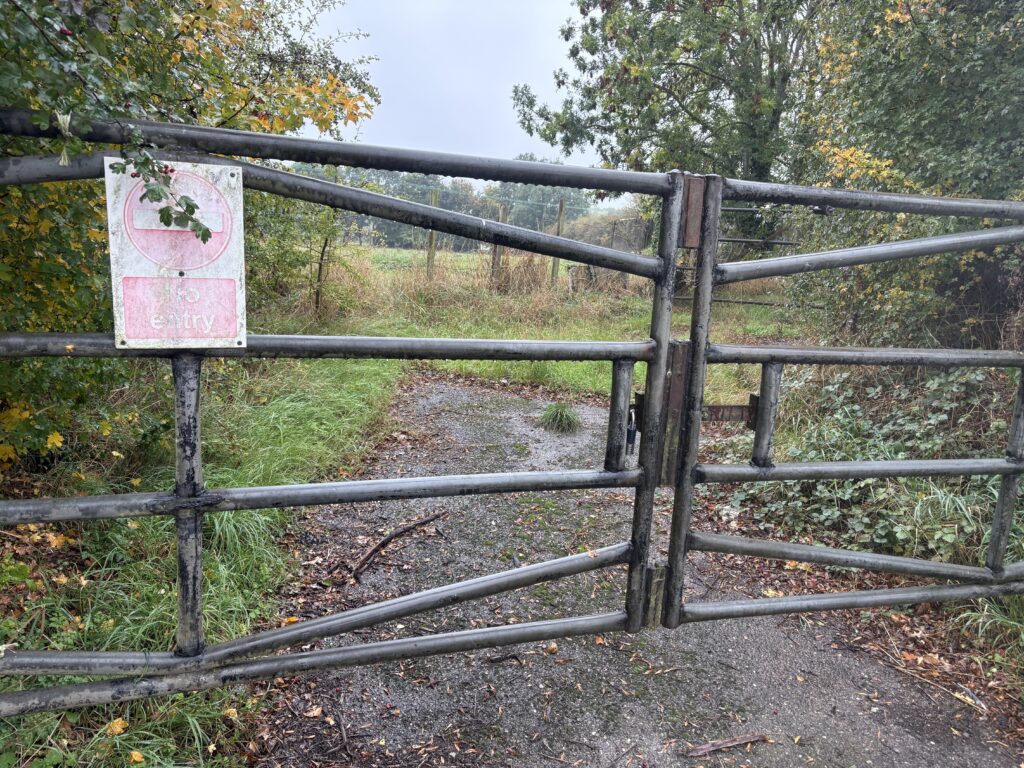
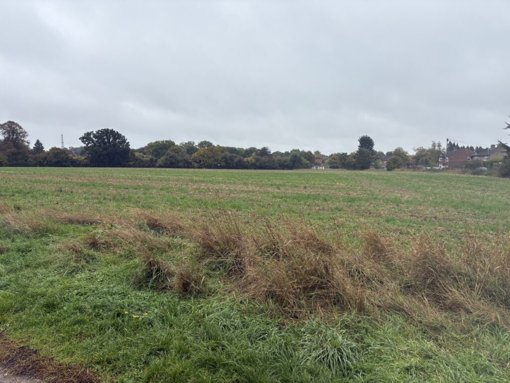
The first of these, on an agricultural field behind The Green Man pub off Sandridgebury Lane, would be for 49 houses, while the other, on arable land owned by the Salvation Army behind Shottfield Close, is for a staggering 84 homes.
Both developments would abut the fringes of Heartwood Forest and push hundreds of cars onto country lanes which are simply not able to cope with these levels of traffic.
Visiting the village on a wet Friday afternoon, the B651 linking Sandridge with Wheathampstead and St Albans is reasonably busy with a steady flow of traffic, but come rush hour the surrounding lanes will be backed up with cars trying to join the road, to say nothing of the bottleneck southwards at the King William IV junction.
Walkers and cyclists are queuing up outside The Green Man – one of the village’s three pubs – ahead of opening time; regular patrons who enjoy the tranquil environs of Heartwood and the various cycling routes criss-crossing the local area.
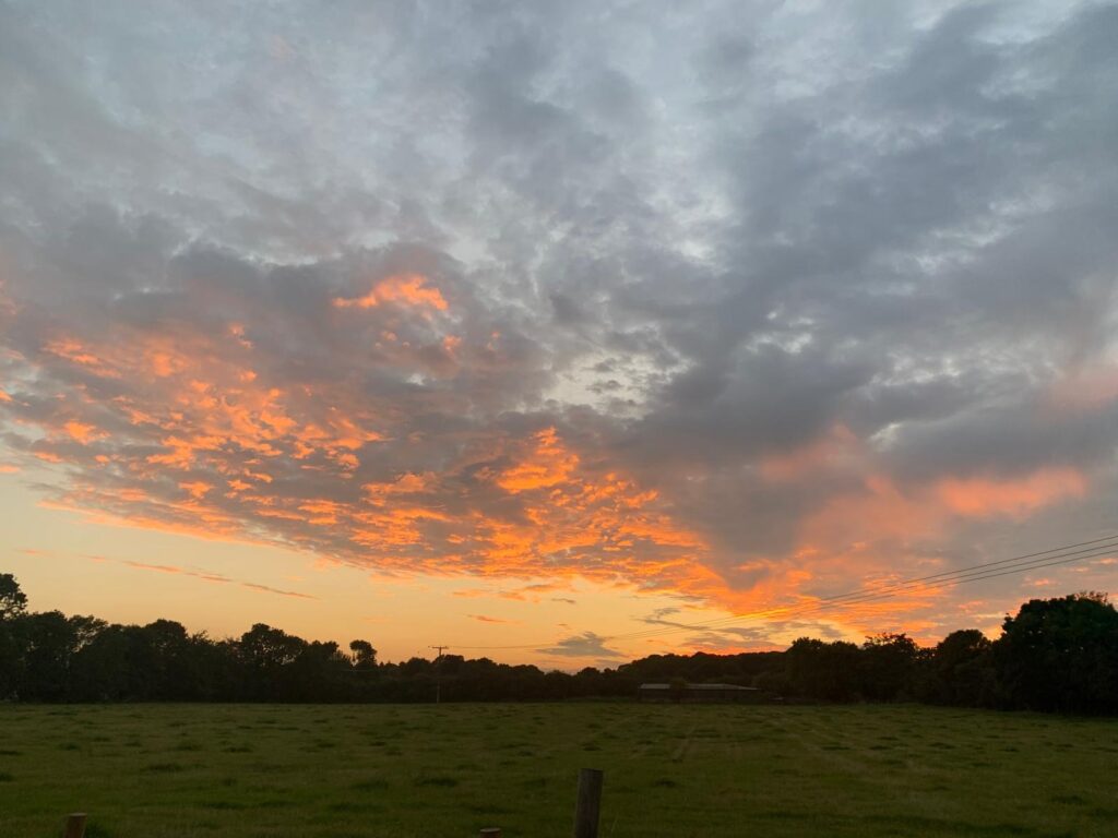
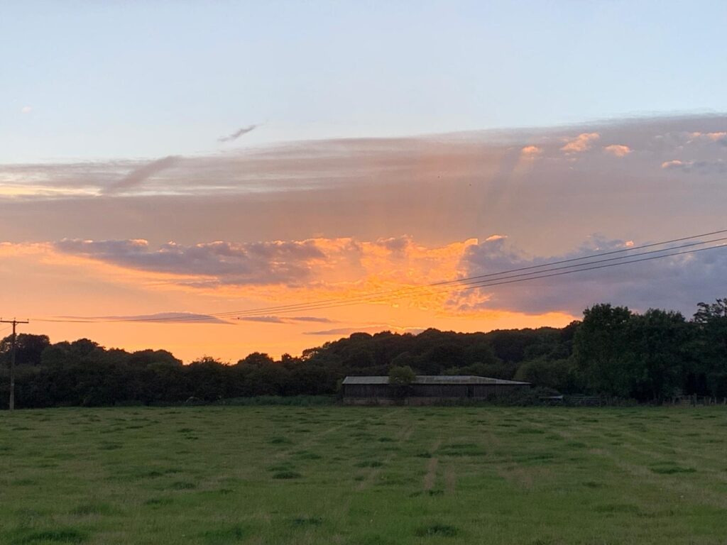
The pub is renowned for its large garden, which features an irreplaceable view of the sun sinking over nearby Heartwood Forest, a vista which will disappear should the adjacent field be developed.
Landlord Martin Crumpton has run the business for six and a half years, weathering the storm of Covid and winning various local and international awards along the way.
He is firmly opposed to the development, which he feels will be of no benefit to the village.
“Everything about it goes against what the village is. It’s a rural village with a lot of history and in a Conservation Area. If it was an extension of an existing estate or road then it would be slightly different, but it’s slap bang in the middle of the Green Belt.
“Normally with something like this, you’d get a mixed view about a development, but I’ve not spoken to anyone, be it a resident or business owner, who is in favour of any of the developments.
“People have said to me, you’re going to want the extra footfall, but a lot of people come here for our outlook. We’re luckier compared to the other pubs, they’ve all got a garden but we get the sunset and ours, and it’s part of the Heartwood view as it were. I don’t want to look out onto houses.
“Sandridgebury Lane can’t deal with the volume of traffic as it is, and if you widen it then it will ruin this end of it, and that really only improves access from the village, it doesn’t address anything coming through from the other end.
“There are already sewage issues within Sandridge, and people in the village say their drains are up to capacity, so what happens when you’ve got another 49 houses connected?”
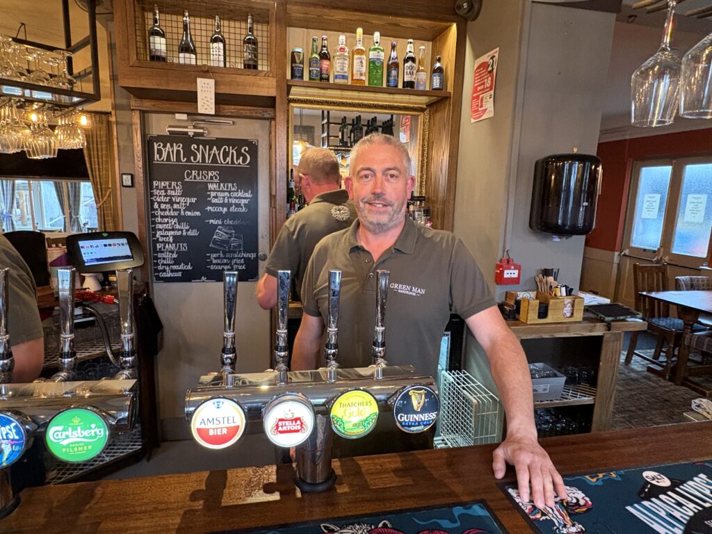
We’re joined by Rob White, who moved to the village from Barnet last year to enjoy a rural retirement, but has become an active supporter of the Save Our Sandridge campaign, a locally-driven initiative raising awareness of the proposed developments and rallying opposition to the proposals.
He adds his thoughts on the first scheme: “I don’t think anyone supports this. We’re not against new housing, we have a lot of new homes which fit in quite well on the side of the road, but something on this scale on open countryside will completely change the look of the village.
“They’re trying to argue that this is grey belt, but it’s all Green Belt really – the trees you can see on the horizon are Langley Wood, the ancient woodland part of Heartwood Forest. This is a village that goes back to Saxon times, the Conservation Area comes right up to the edge of the field, so why would you suddenly plant 49 houses right next door to it?”
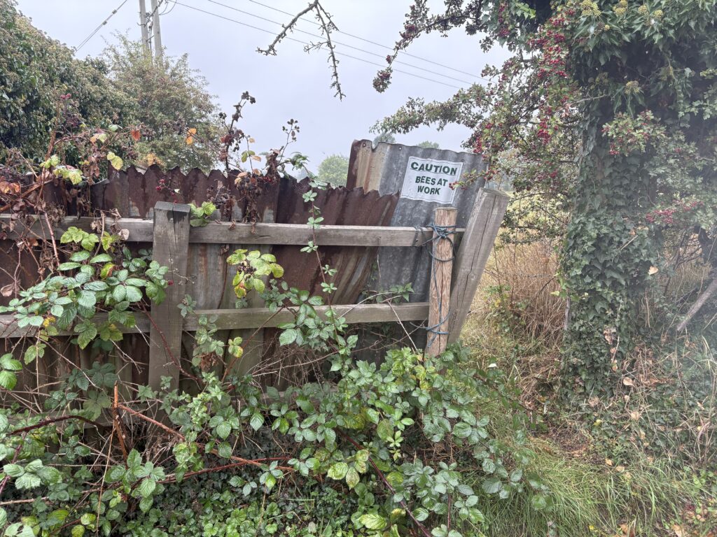
Leaving the pub, Rob takes me down the narrow Sandridgebury Lane to the proposed entrance for the development, a walk which is hazardous enough now, with a lack of footpaths and cars tearing past at speeds of up to 60mph, but what will it be like when there are a potential 100 additional cars coming out onto the road?
The question of neighbouring cricket and football pitches has also been raised, with Sport England calling for the developers to install high fences to prevent balls from coming over and hitting a person or property on the new estate, something which will hardly add to the aesthetic of the site.
The developers are pushing the idea that many people could cycle the 12-minute journey to St Albans City Station, not taking into account the high fatality rate on the treacherous route up to the King Will and the lack of suitable cycle paths.
To make matters worse, the developers of Woollam Park in north St Albans – 1,000 homes located between Harpenden Road and the railway line – have included active travel measures in the scheme which call for Sandridgebury Lane to be closed to motorised traffic.
Not only will this force all cars from the new Sandridge development onto the B651, but it will prevent villagers from being able to access St Albans Girls’ and Townsend Schools without navigating the tailbacks at the King Will and Ancient Briton junctions.
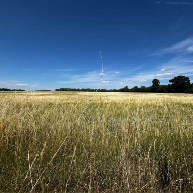
Meanwhile, another proposed development of 1,000 homes between the railway and Sandridge – Lightwood at Sandridgebury Farm – is awaiting the outcome of Woollam Park before proceeding with a full planning application. Quite how residents will navigate the surrounding lanes remains to be seen.
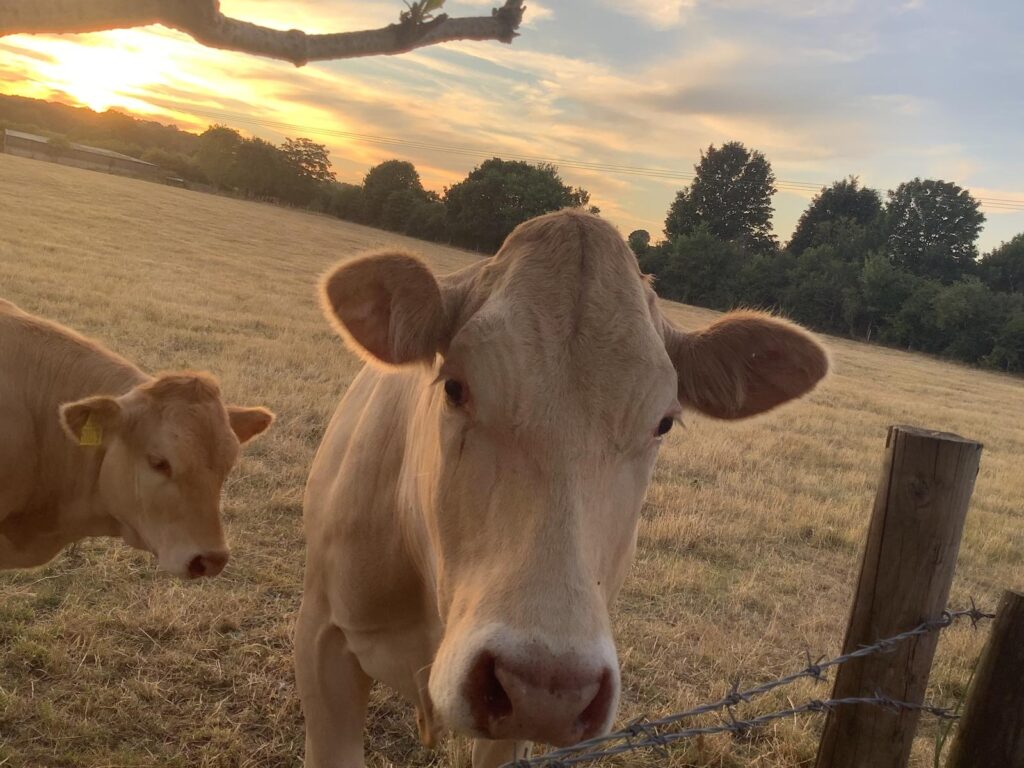
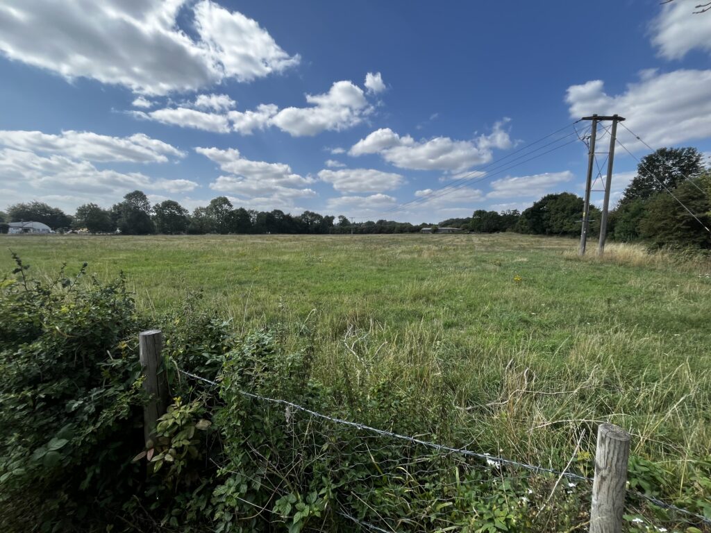
A disused agricultural building in the corner of the field next to the Green Man might be the argument for calling it grey belt, the Government’s new designation for previously developed land in the Green Belt, but this hardly warrants the status, with the majority of the site previously used for grazing cattle until the owner passed away.
It’s still pouring with rain, and as we head away from The Green Man the pavements and lanes around the village are already filling with puddles, a situation which can only be worsened by concreting over fields which absorb a lot of groundwater.
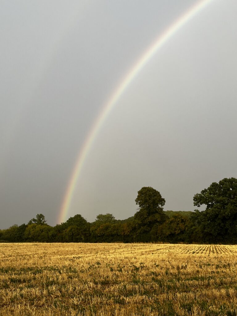
Just off Shottfield Close and between the Hertfordshire Way and Sandridge School, is an even bigger site with plans for 84 homes. Access would be into the narrow close and then onto Langley Grove, a road frequently congested with traffic from the school and the direction of Hatfield.
The Hertfordshire Way is a 195-mile circular route around the county using just public rights of way, mainly through open countryside, and the Shottfield development borders part of the walk as well as the eastern section of Heartwood Forest.
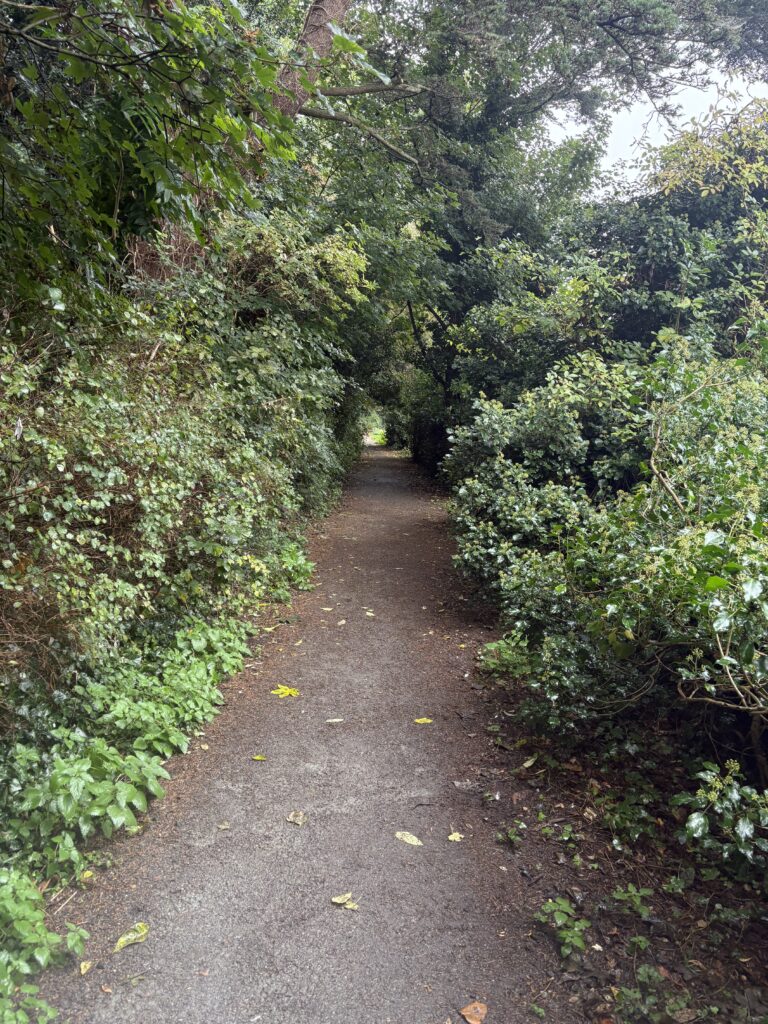
A bridleway to St Leonard’s Church is the main link between the site and the village centre, but this cannot be used by cycles, which makes a mockery out of active travel claims.
Rob says: “They’re saying Shottfield’s grey belt as well, but it’s just a field which was used to grow crops, there are no buildings on it at all.
“There’s absolutely no argument that anything’s been done to it in centuries. They’re saying there’s no biodiversity implications because it’s just a field, but with evidence of skylarks now recorded with HERC [Herts Environmental Records Centre], how can they say there is no biodiversity when we have red listed birds here?
“When you’ve got the school run and rush hour it gets absolutely gridlocked around here.”
The traffic count for the Shottfield site took place on a Wednesday and lasted for just an hour, while one at the Green Man site was in the middle of the day for a similar period, with neither providing enough evidence to ascertain the ‘true’ traffic levels using the surrounding lanes.
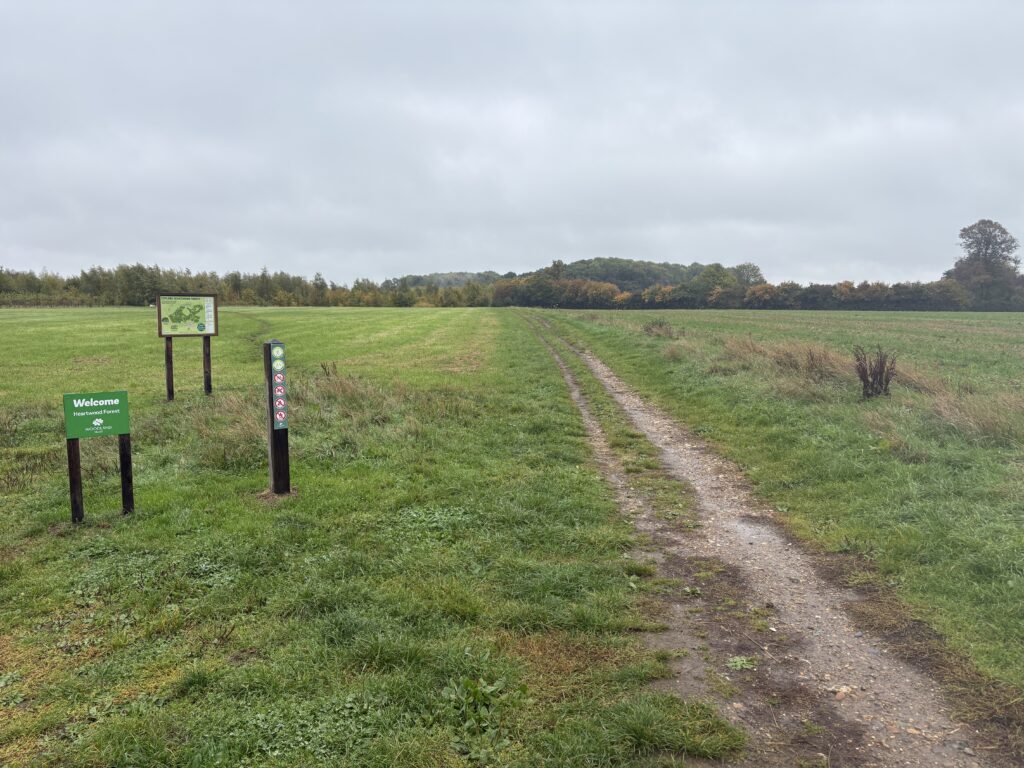
The site is owned by the Salvation Army, who seem to have decided that it’s more lucrative to develop it for housing instead of agriculture, despite actively objecting to the similar scheme in Sandridgebury Lane because if fails to take into account access to one of their properties.
“If you go to their website and look at their environmental credentials, they claim they’re green and looking to maintain the environment, but then they’re talking about building on this land.”
Laura Garner, spokesperson for Save Our Sandridge, says the two developments present significant risks to highway and pedestrian safety, harm the rural setting, and fail to meet key requirements of the National Planning Policy Framework (NPPF) and local planning policies.
“We have repeatedly seen across the district that outline planning permissions have been granted to developers without all the necessary and accurate information being available at the time of the decision. Following these approvals, numerous errors and inaccuracies – attributable to both the applicant and statutory consultees – have subsequently come to light.
“This lack of complete information at the outline stage has frequently resulted in failures to deliver on commitments made, undermining the integrity of the planning process and public trust.
“This objection is not rooted in opposition to development per se. We fully acknowledge the national housing crisis and the need for appropriate, affordable homes. However, the current proposals exemplify an increasingly common and concerning pattern: speculative developments brought forward without genuine regard for sustainability, infrastructure, environmental impact, or community need.
“Local examples – including CALA, Woollam Park, and Chiswell Green – have demonstrated how misleading information and flawed assessments are sometimes used to secure approval, undermining public confidence in the planning system.
“There is a growing sense of mistrust across the district – towards councillors, MPs, and most notably the council’s management committee – fuelled by a perception that resident voices are being ignored and that decision-makers are failing to uphold the principles of transparent, responsible, and community-led planning.
“Both sites lie entirely within the Metropolitan Green Belt and do not constitute previously developed land, contrary to NPPF Paragraphs 147–151. No ‘very special circumstances’ have been demonstrated to justify inappropriate development.
“The Green Man development, further down the line in process, has some significant objections including from the CPRE and the British Horse Society. There have been over 147 public objections to the proposal.
“The Shottfield Close application is at the earlier stage, and Save Our Sandridge (SOS) are in the process of reviewing the statutory consultees responses and formulating their own group response.
“The proposed site, is at, or on, the northern extent of the bromate plume emanating from the former chemical works.”
These works – now St Leonard’s Court – are located south-west of St Leonard’s Church. As a result of these groundwater monitoring is essential and great care must be taken during any excavations not to disturb this plume.
Laura continued: “It has been noted that a coffee shop has been added into the linear park plans – something which the Woodland Trust have now been made aware of by the campaign group.
“In addition, the trip count is limited and does not give an accurate representation of the real traffic numbers at school pick-up, drop-off and work peak hours – and therefore, what the real impact of the increased circa 190 vehicles will have on safety and congestion.”
Parish councillor Sharon Hollingsworth has already called in the Shottgfield application, highlighting reasons including the fact that the site hasn’t been included in SADC’s draft Local Plan, that the recent closure of the village shop means it isn’t sustainable, and a lack of information about what size homes are being proposed.
We asked the Salvation Army to explain why they had decided to sell the land, especially as this appeared to contradict the organisation’s environmental pledge.
This states: “The Salvation Army believes people are made in the image of God. He has entrusted us to reflect his personality by caring for the Earth and everything in it.
“The Salvation Army recognises environmental degradation as one of the most pressing issues facing the world today, affecting us all. Its effects fall disproportionately on the most vulnerable, particularly in terms of health, livelihood, shelter and the opportunity to make choices. The very survival of humanity depends on the health of the whole ecosystem.
“In addition to being compelled by lived experience, The Salvation Army also accepts the scientific evidence that demands action on all levels to lessen the effects of environmental damage. It is committed to sustainable environmental practices which are required to safeguard the integrity of creation.”
A spokesperson for the organisation declined to comment on the pledge, and said: ““We recognise how important this land is locally. Proposals include open space for the benefit of existing and future residents, play space and woodland reflecting the character of Heartwood Forest.
“The application is supported by a Transport Assessment, which will be robustly assessed by Hertfordshire County Council.
“Now the application has been submitted to St Albans City and District Council, the local community can view and give their feedback at www.stalbans.gov.uk/view-and-track-planning-applications
“The Salvation Army have not used the land at Pound Farm for our mission work for many years. Funds from any sale would go to our mission to help the most vulnerable people across the UK.”
The Green Man site application is now awaiting a date when it will be considered by SADC’s planning committee. Comments on the Shottfield site are invited until October 25 using the above link and the following reference: 5/2025/1556. Find out more about both at www.saveoursandridge.uk/
