06 Dec 2024
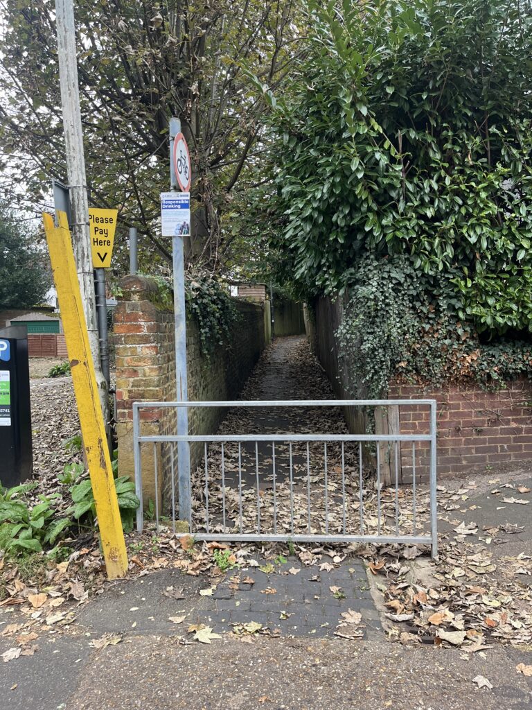
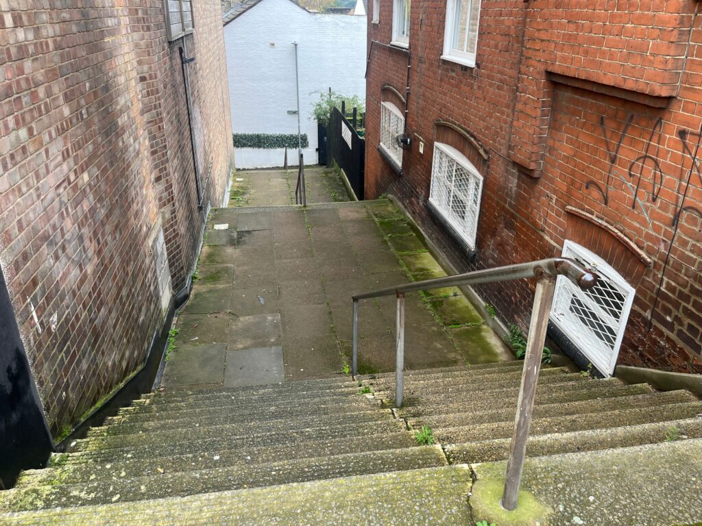
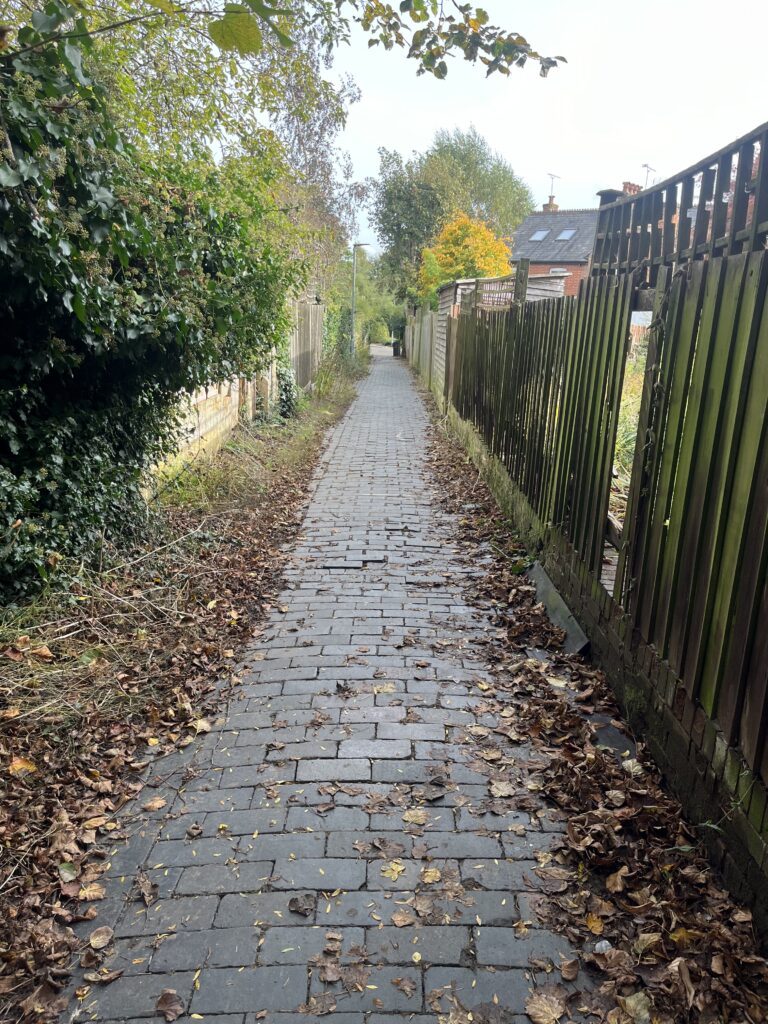
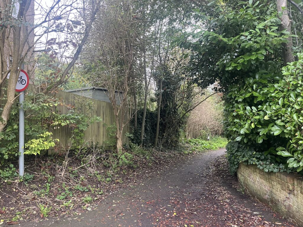
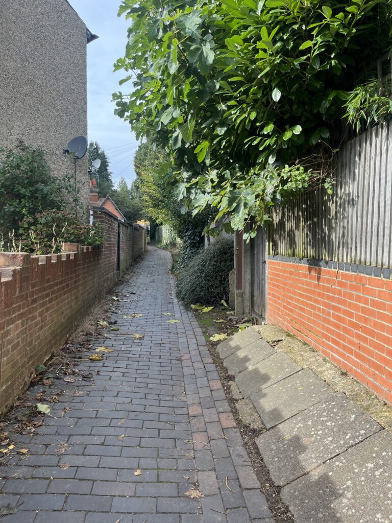
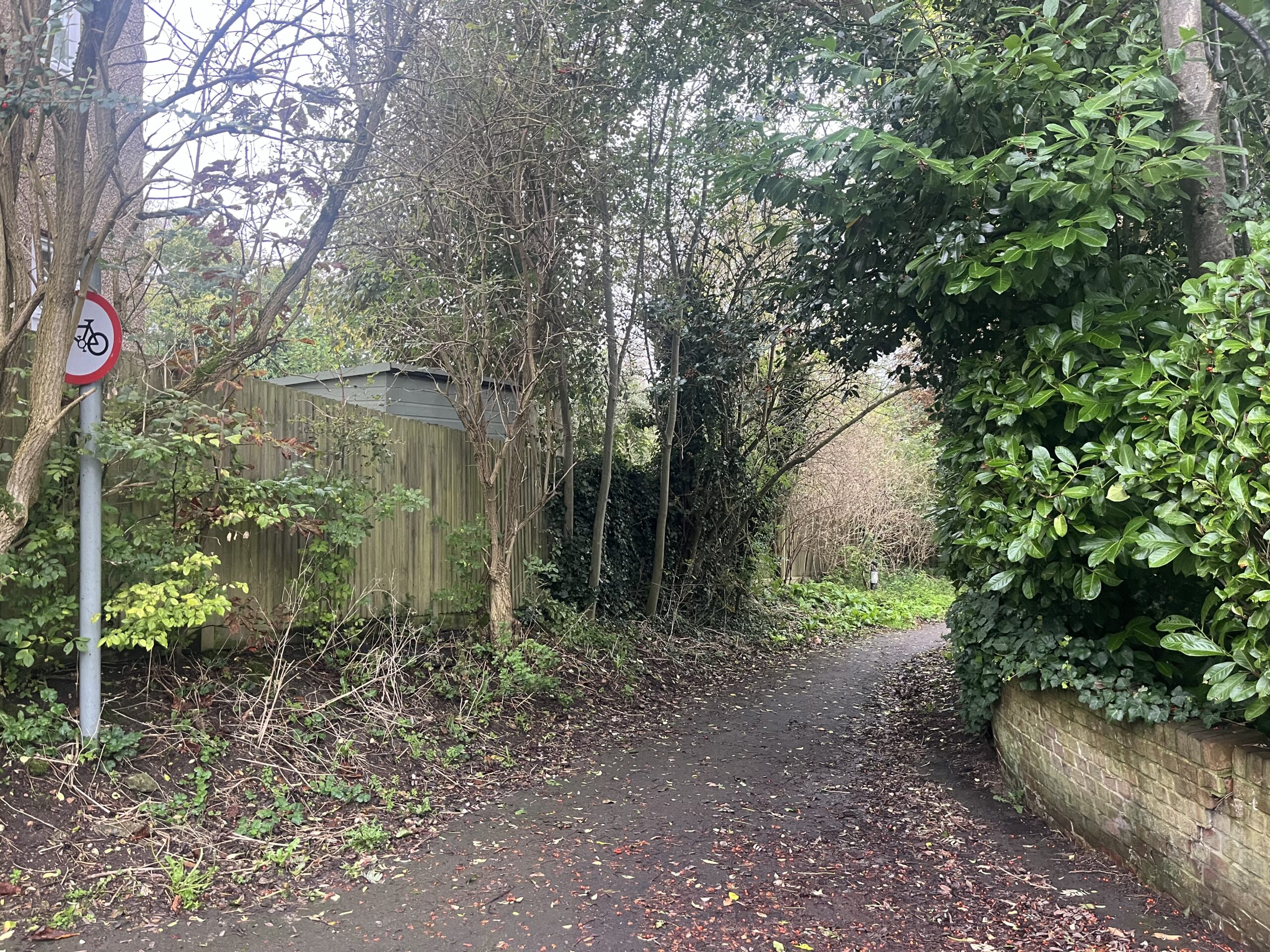
Riddled across St Albans city centre and further afield is a network of cut-throughs and alleyways providing pedestrian access between roads and estates which you might not realise are there.
Of course the most well-known and well-used of our walking and cycling routes is the Alban Way, which connects up various disparate parts of the city from Sopwell to Highfield and beyond, but it’s the more obscure pathways we’re interested in here.
Only by pounding the streets on foot would you discover the tree-lined throughfare linking Fishpool Street with Mount Pleasant for example, as there are no signs explaining where you’ll end up at the end. Or what about the route which links Breakspear Avenue with Camp Road, substantially reducing the time it takes to reach the City station?
By becoming aware of these different routes you can not only shave minutes off a journey, but also discover parts of the city you previously might not have explored.
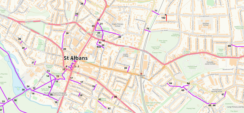
Unfortunately there’s a bit of a chicken and egg situation going on here, as you’re unlikely to know about many of these alleys unless you live or work in the vicinity of them. A definitive map of Public Rights of Way in St Albans is provided by Herts county council, but this does not focus on the more unusual cut-throughs, and is really a one-size-fits-all approach to every sort of route, from bridleways to country lanes.
In order to properly test out the more unusual urban routes, rather than rely on this map or the associated Rights of Way statements, we’ve been out and about across the city centre and surrounding wards exploring them for ourselves.
Let’s start off to the south of the city centre, for no reason other than we have to start somewhere.
Pass under the archway at the White Hart pub on Holywell Hill, past Ryder Seed Mews and Samuel Square, and you’ll come out the other side at Pageant Road, which is a great shortcut if heading for local backstreet pubs from the centre of town.
A long path takes you all the way from the south-west end of Abbey Mill Lane and alongside the Roman Wall before crossing King Harry Lane and passing Westfields, Rowlatt Drive, Jerome Drive and Meauty’s before reaching the boundary of Park Wood. This is a fantastic pedestrian connection running through the length of the Verulam Estate.
Pathways link Riverside Road to Cottonmill Lane (next to the Old London Road Nursery), Holyrood Crescent to Creighton Avenue and then Maynard Drive.
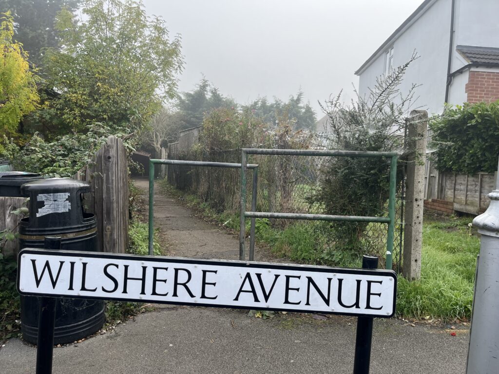
Another route starts at the junction of Mandeville Drive and Abbotts Avenue West, runs between garden fences, crosses Tavistock Avenue, cuts down Wilshere Avenue and Praetorian Court, and ends up in Watling Street (next to 47). It is a favourite short-cut for pupils from Marlborough Science Academy.
Watling Street is also connected to Butt Field View to the west, and Watling View to the east, the latter part of a longer path through nearby fields. There’s another smaller route between Trumpington Drive via Grindcobbe to the pedestrian crossing over the Abbey Line railway, and a similarly brief connection between Sadlier Road and Monks Close.
An obvious cut-through will take pedestrians from Sopwell Lane to Bardwell Road, and a much more extensive route runs from Breakspear Avenue via Vanda Crescent, down Dellfield and then branching to either Camp Road or running next to Cunningham Hill green space and connecting up with Cell Barnes Lane. This proves to be a valuable short-cut when heading into or out of the city centre.
Other pathways in the area take you from Cell Barnes Lane via Springfield Road to the other side of Camp Road. Not far from there are connections between Liberty Walk and Drakes Drive, and a longer one from there to Hill End Lane which cuts across green space between the houses.
North of the city centre is a labyrinth of different paths. There are two routes off Lemsford Road, one leading to Jennings Road and the other to York Road. You can walk from St Peter’s Street to Hatfield Road via the churchyard, or take a different branch of this path which connects up to St Peter’s Road.
Hatfield Road can also be used to access Charter Close (adjacent to Bricket Road) using a path behind the Duchess of Marlborough almshouse, and Hillside Road also provides access to Althorp Road.
Dalton Street (opposite 27) links to Bernard Street (29-31), and then on to Grange Street (42-44) and Palfrey Close (23-25) via Carlisle Avenue, a major cut-through for this part of the city. Not far away is Snatchup Alley, running from the former Cricketers pub on the Harpenden Road (now Amrit), behind Stonecross and out to the rear of The Jolly Sailor, a good pedestrian route if you know it’s there.
Meanwhile, Sandpit Lane is connected to Wheatleys, which provides access to Barnfield Road.
In New Greens, you can find paths connecting Therfield Road and Batchwood Drive, Nicholas Close and Francis Avenue, New Green Avenue to Harpenden Road, Sparrowswick Ride to Caven Drive and also up to the Harpenden Road. Cut down Heath Farm Lane and you can reach The Limes and from there onto Spencer Gate and Sandridge Road.
Over in Porters Wood, there is a footpath which takes you from Soothouse Spring all the way to Sandridgebury Lane, passing St Albans Girls’ School as it does.
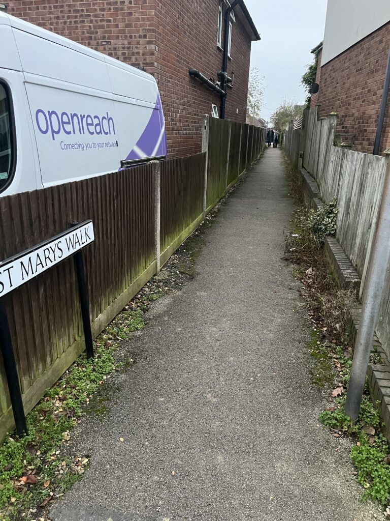
Marshalswick is full of shortcuts. The cul-de-sac St Mary’s Walk, off Pondfield Crescent, actually connects to The Ridgeway via a footpath, providing an excellent cut-through to Sandringham School. Also worth knowing is the route between Marshal’s Drive (adjoining 43) to Marshalswick Lane (between 68-70).
Other paths link Quantock Close and Mendip Close; Cotswold Close to Windmill Avenue and The Ridgeway, another between Queen’s Crescent (between 30-31) and Pondsfield Crescent (opposite Skys Wood Road between 72-74); and Downes Road all the way to St Albans Road via Sandringham Crescent.
You can also make your way from the junction of St Albans Road and Helier Road all the way to Jersey Farm Lane.
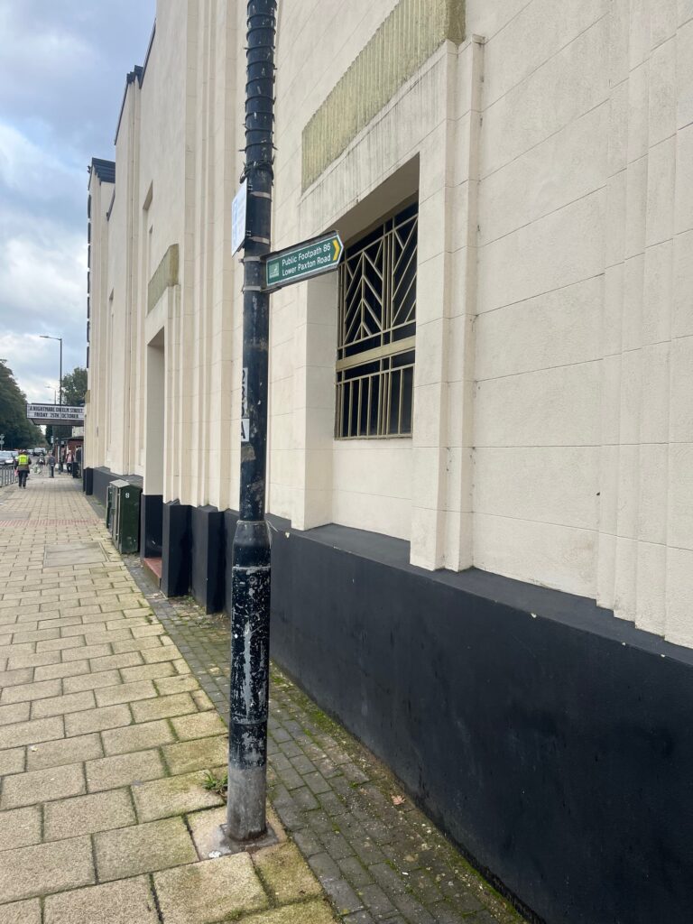
Moving east of the city centre and near The Odyssey cinema is a footpath connecting London Road to Lower Paxton Road, and on the other side of the road, behind Charlie’s coffee shop, is a pedestrian route to Inkerman Road. Meanwhile in Fleetville we find an extensive path from Woodstock Road South all the way to Beaumont Avenue, taking in Arthur Road en route, and there’s a shortcut between Burnham Road and Royal Road used by parents of children at Fleetville Infants and Nursery School.
Finally, to the west are some more very useful links. Walk from Gombards all the way to Verulam Road, or from Ver Road to Fishpool Street (between 32-34), and connect from Mount Pleasant to King’s Road, or take a separate route via Offa Road back down to Fishpool Street (adjoining 120).
Hopefully some of these connections will encourage you to explore them further when next in the area, confident now of knowing how they join up and where you’ll find yourself.
It really is part of the charm of St Albans that so many of these routes still exist, echoes of long forgotten connections between different parts of the city, the relevance of which has often passed into obscurity. If we’ve missed out any routes which you’re aware of, please let us know at the usual address.