01 May 2024
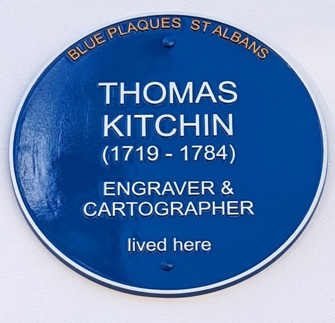
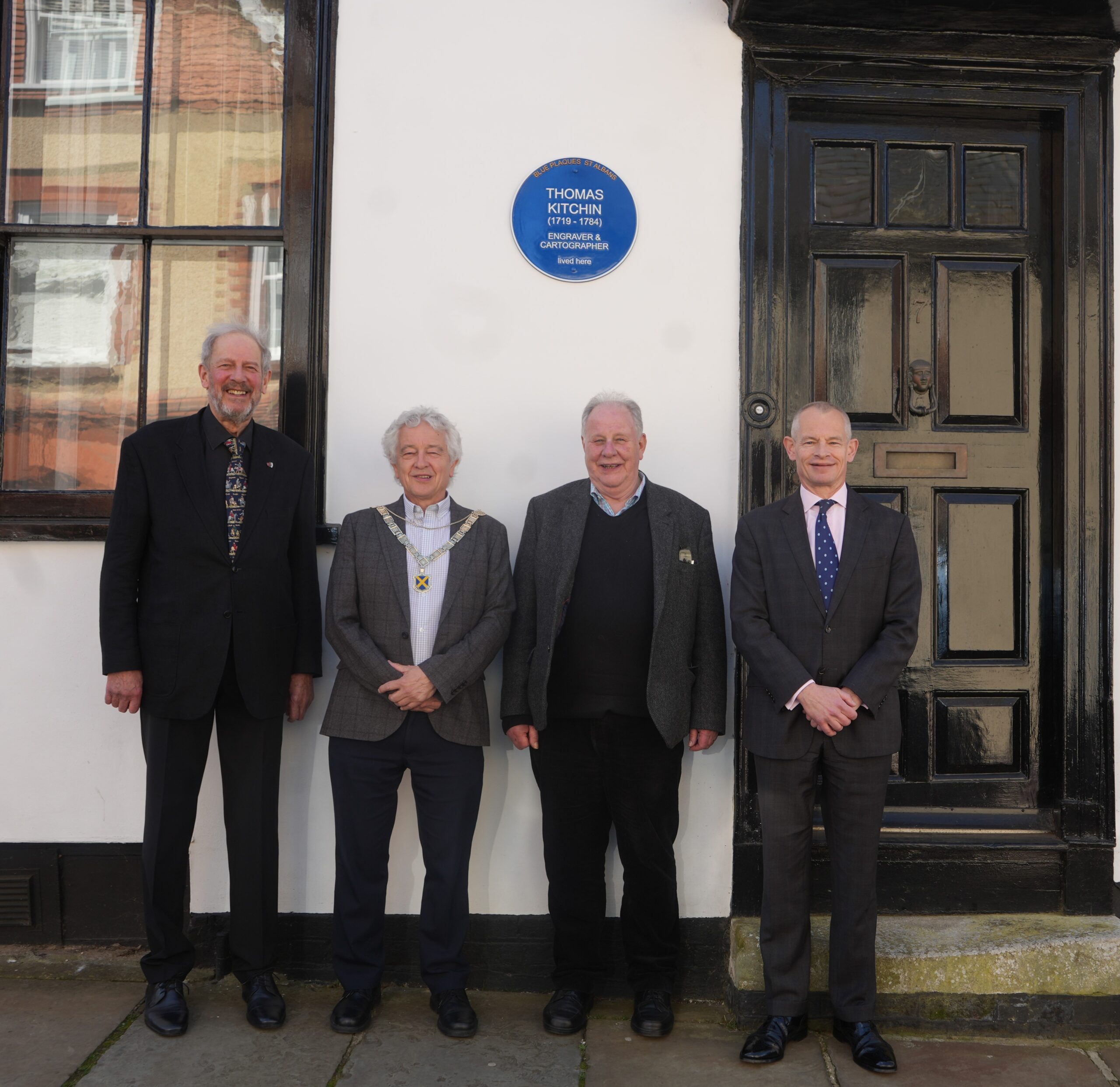
A blue plaque commemorating the life of Thomas Kitchin has been installed at 7 Fishpool Street, St Albans, which was once his home and is now the house of St Albans School’s headmaster.
Tuesday;’s ceremony was followed by a reception in the school attended by the Mayor, Cllr Anthony Rowlands, and the headmaster, Jonathan Gillespie.
This is the 12th blue plaque to be installed by Blue Plaques St Albans (BPSA), a voluntary organisation established to commemorate famous men and women who have lived and worked in St Albans, by placing blue plaques on buildings or sites associated with their lives.
Professor Tim Boatswain, the Chairman of Blue Plaques St Albans said: “Thomas Kitchin is perhaps little known but was, in fact, a prolific and exceptionally talented engraver, who produced hundreds of maps during his 18th century lifetime.
“Last year, hosted by St Albans & Hertfordshire Architectural & Archaeological Society, Laurence Worms, an expert on Kitchin, gave a fascinating talk on the engraver and map-maker’s career.
“Blue Plaques St Albans are very grateful both to him and all those who subscribed to his talk as his and their fees paid for the blue plaque. I also wish to thank St Albans School and the headmaster, Jonathan Gillespie, for not only giving permission for the plaque to be installed but also for the splendid reception that awaited the attendees of the installation.”
Thomas Kitchin was probably born in the parish of St Olave, Southwark, on December 1 1717, apparently the eldest child of Thomas Kitchin, a hat dyer. He was apprenticed to the map engraver Emanuel Bowen on December 6 1732 and seven years later, he finished his time and married his master’s daughter, Sarah.
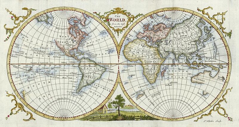
From 1746, when he was made freeman of the Merchant Taylors’ Company, he took on apprentices in his expanding firm. His early production includes John Elphinstone’s 1746 map of Scotland (used before the Battle of Culloden), the first pocket atlas of Scotland, Geographia Scotiae (1748–9), and The Small English Atlas (1749), co-published with Thomas Jefferys, another of Bowen’s apprentices.
The Large English Atlas (serially produced with Bowen between 1749 and 1760) was the most important county atlas since Elizabethan times and the first real attempt to cover the whole country at large scale. In 1755 Kitchin engraved the great John Mitchell map of North America, used at the peace treaties of Paris and Versailles, which ended the American War of Independence.
As an engraver, Kitchin showed a fine technical facility, the lettering clean and assured, and the etched decoration from his workshop was among the most impressive of all English rococo work. He appears in the Royal Kalendar as hydrographer to the king.
Eventually retiring from Holborn to St Albans to live at 7 Fishpool Street, Kitchin continued map-making to the end of his life.
Clues, however, to his personal life are meagre, although it is known that he was extremely active in the Baptist community and served as deacon of his chapel. His will, which requests burial ‘with as little expense as may be’, reveals his modesty. Kitchin died in St Albans on June 23 1784 and was buried in St Albans Abbey on June 29.